
The Met Office has issued a weather warning for Lancashire with two storms on the way this week.
Forecasters warn of very strong winds when Storm Dudley crosses the northern half of the UK on Wednesday night and into Thursday morning, while Storm Eunice follows soon after, bringing further strong winds and potentially some snow for parts of the county on Friday.
The Met Office has moved to issue warning across the UK, particularly in the north as Storm Dudley and Storm Eunice approach the UK threatening strong winds with gusts of up to 90mph.
Two deep low-pressure systems have been named by the Met Office and will bring very strong winds and potentially snow to the UK this week.
Storm Dudley will impact on the northern half of the UK from Wednesday afternoon through to early Thursday, while Storm Eunice will bring strong winds and potentially some snow for parts of the country on Friday.
Met Office Chief Meteorologist Paul Gundersen said: “An active jet stream is driving low-pressure systems across the country, both of which are likely to cause some disruption and National Severe Weather Warnings have been issued.
Storm Dudley
Strong winds will cross western Scotland and Northern Ireland on Wednesday afternoon, pushing eastward to northern England by evening. 80-90 mph wind gusts are possible on exposed coasts and hills of Scotland with 60-70 mph possible further inland. The worst of the winds are expected to ease through Thursday morning. A yellow warning for wind has been issued for much of central and northern areas of the UK, including Northern Ireland. Embedded within that is an amber warning for southern and western Scotland, the north coast of Northern Ireland and northern England, where the strongest and most disruptive winds are expected.
Storm Eunice
The next low-pressure system is likely to track across central areas of the UK on Friday. Further impacts are expected from disruptive gale force winds with 60–70 mph winds expected inland. This system is also expected to bring some heavy rain and there is a potential for some significant snow fall over hills in the Midlands and further north, although this will become clearer nearer the time.
National Highways Head of Road Safety Jeremy Phillips said: “We’re encouraging drivers to check the latest weather and travel conditions before setting off on journeys and consider if their journey is necessary and can be delayed until conditions improve. If you do intend to travel, then plan your journey and take extra care, allowing more time for your journey.
“In high winds, there’s a particular risk to lorries, caravans and motorbikes so we’d advise drivers of these vehicles to slow down.
“Drivers of other vehicles should be aware of sudden gusts of wind which can affect handling and braking, and give high-sided vehicles, caravans, and motorbikes plenty of space. In the event of persistent high winds we may need to close bridges to traffic for a period, so please be alert for warnings of closures and follow signed diversion routes.”
 INTERVIEW: Award-winning festival set to celebrate Italy in Lancaster
 Lancaster MP welcomes return of mobile phone coverage
 INTERVIEW: Historic Heysham pub to reopen as new management aims to 'bring community together'
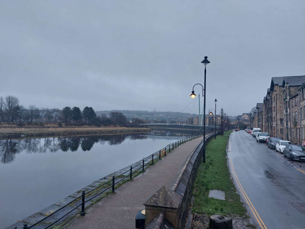 Traffic diverted as Lancaster quay closed for rail bridge works
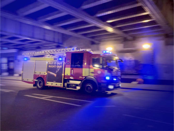 Caravan fire in Morecambe spreads to two other vehicles
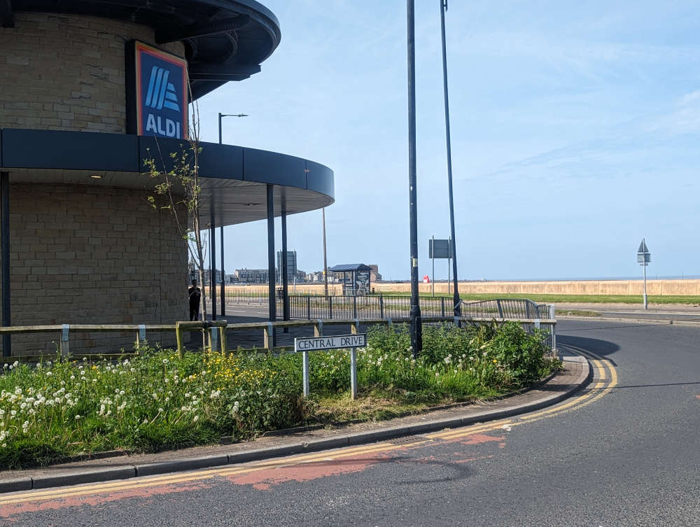
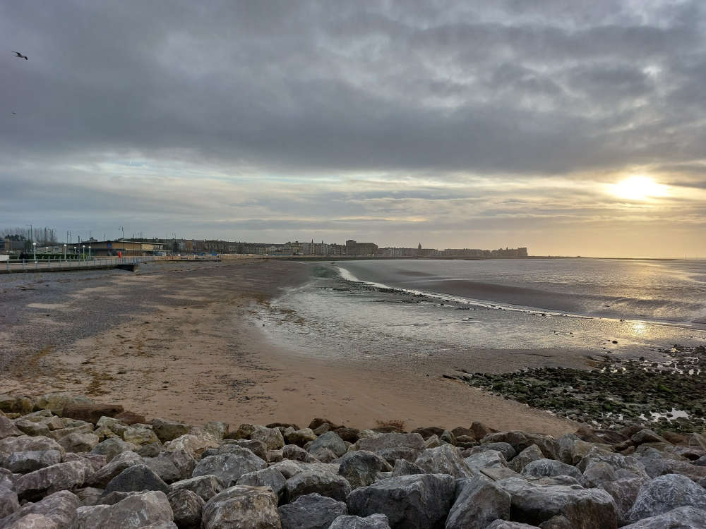 Morecambe's two bathing beaches receive Seaside Awards amid calls to improve water quality
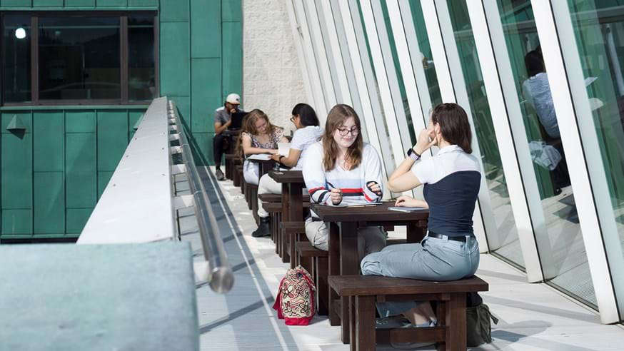 Lancaster remains best university in North West England in Complete University Guide
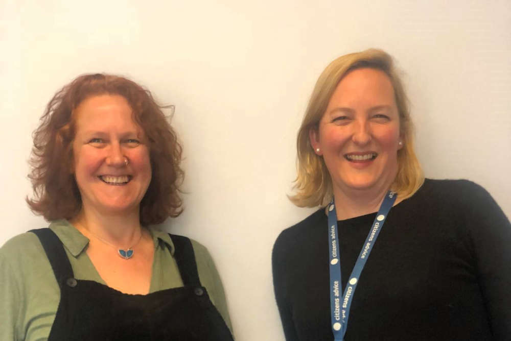 'Music with the Mayor' initiative launched to support North Lancashire’s Citizens Advice
 DIARY: Beyond Radio presenter fighting cancer continues his '60 Before 60' challenge
 BIG FIGHT COUNTDOWN: Tyson Fury's father John headbutts Usyk supporter ahead of undisputed heavyweight title fight
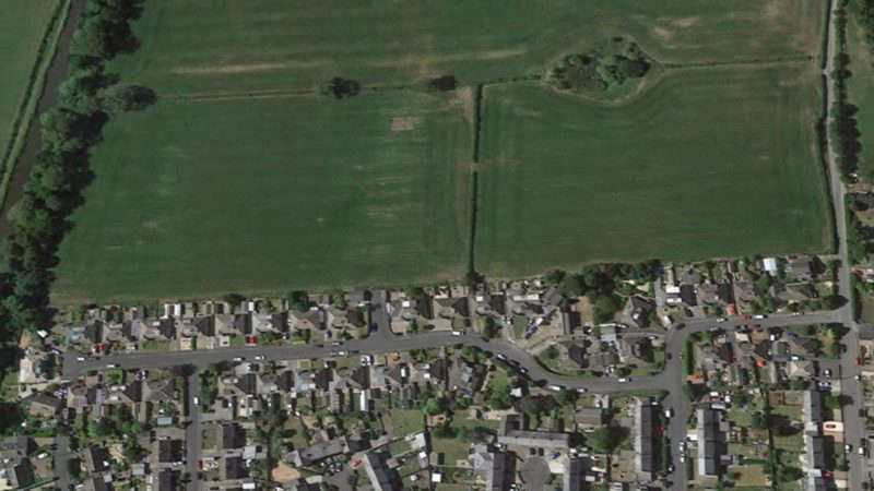 Decision to refuse Galgate housing scheme planning permission upheld following public inquiry
 INTERVIEWS and PHOTOS: The story of Highest Point festival 2024
 INTERVIEW: Lancaster prison officer backed by Tyson Fury wins sport contest ahead of Miss England bid
 VIDEO and INTERVIEW: Lancaster schoolboy, 10, makes drum 'n' bass DJ debut at Lancaster festival
 Highest Point 'Lancaster Rocks' night cancelled due to thunderstorms warning
 Quad bike rider dies after road crash in Morecambe
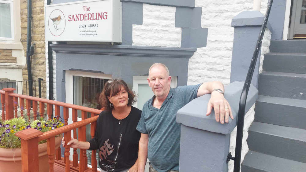 Morecambe guesthouse couple to star on reality TV show 'Four in a Bed'
 PHOTOS: Northern Lights dazzle on Highest Point festival day one
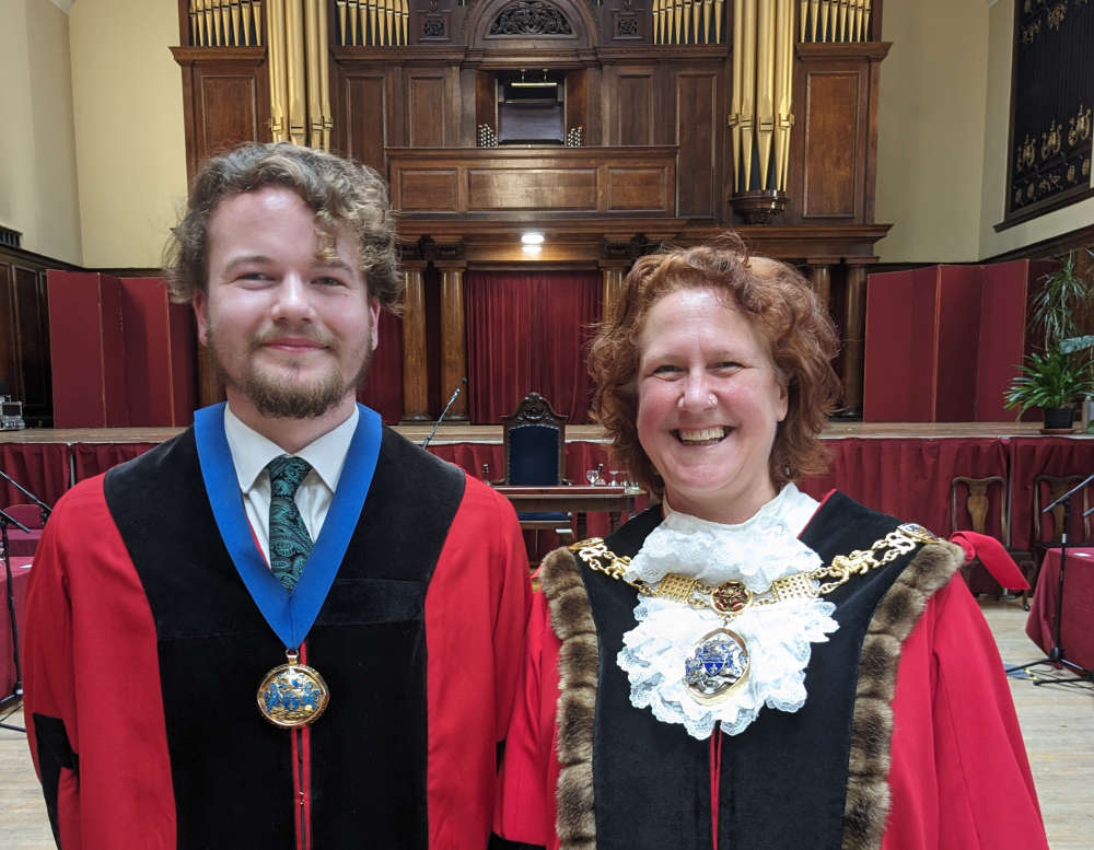 Mother and son unveiled as new Lancaster mayoral team
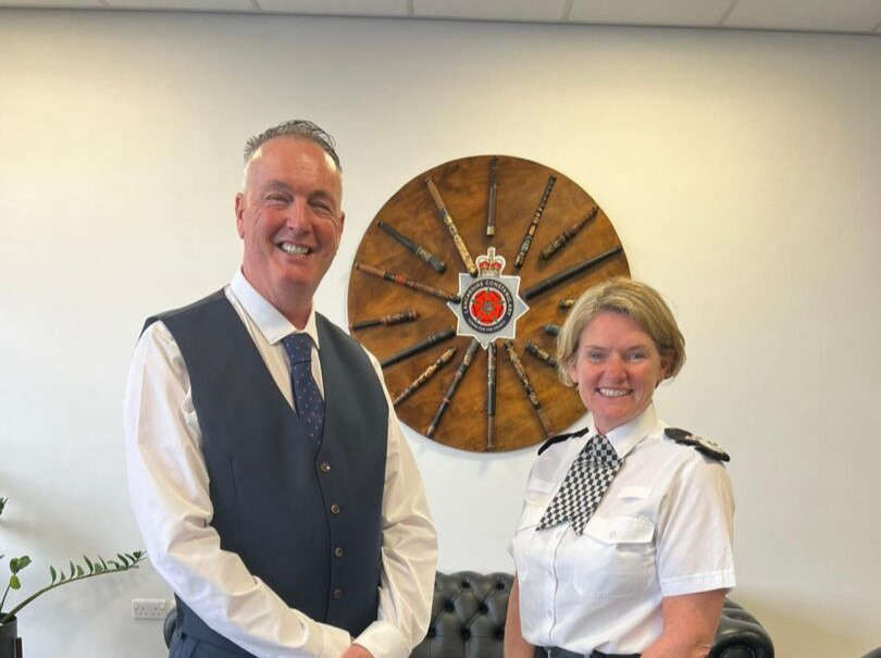 New police and crime commissioner for Lancashire begins role